

Biodiversity Monitoring
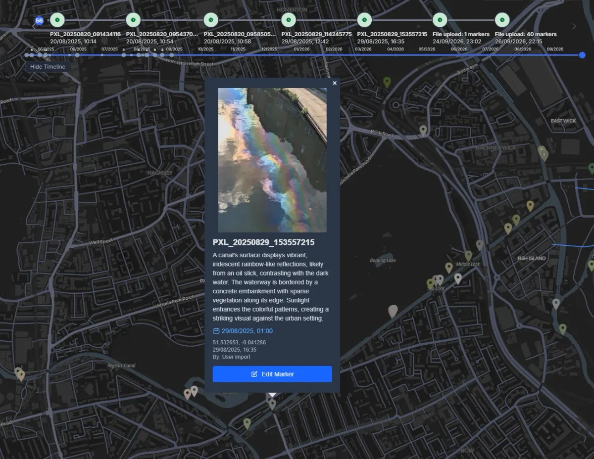
Modern phones have excellent cameras and geotag every photo, which makes them versatile and accessible tools for monitoring public spaces.
Highlights
Section titled “Highlights”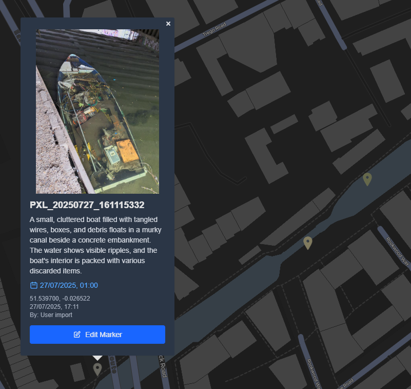
Automatic detection
Each photo can be analysed by a vision-language model (VLM) or any other computer vision tool, to produce a description of its content or simply a list of tags.
Batch import
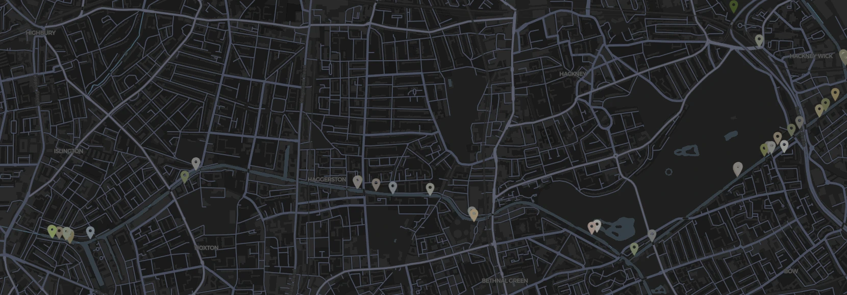
Upload large numbers of photos at once, and assign colours or marker icons by type to suit your needs.
Search
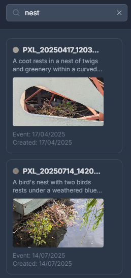
Search both the descriptions and the tags to quickly find photos of the subject you are interested in.