

Upload a Shapefile
A Shapefile isn’t one file — it’s a set of sidecar files that must travel together. CollMap accepts them
as a single .zip.
What the zip must contain
Section titled “What the zip must contain”Directoryyour-shapefile.zip
- roads.shp the geometry
- roads.shx the shape index
- roads.dbf the attributes
- roads.prj the coordinate system
Uploading a bare .shp on its own is rejected — the .dbf and .prj are required for attributes and
projection.
Upload it in the app
Section titled “Upload it in the app”-
Open the Upload Layer tab and choose your
.zip. -
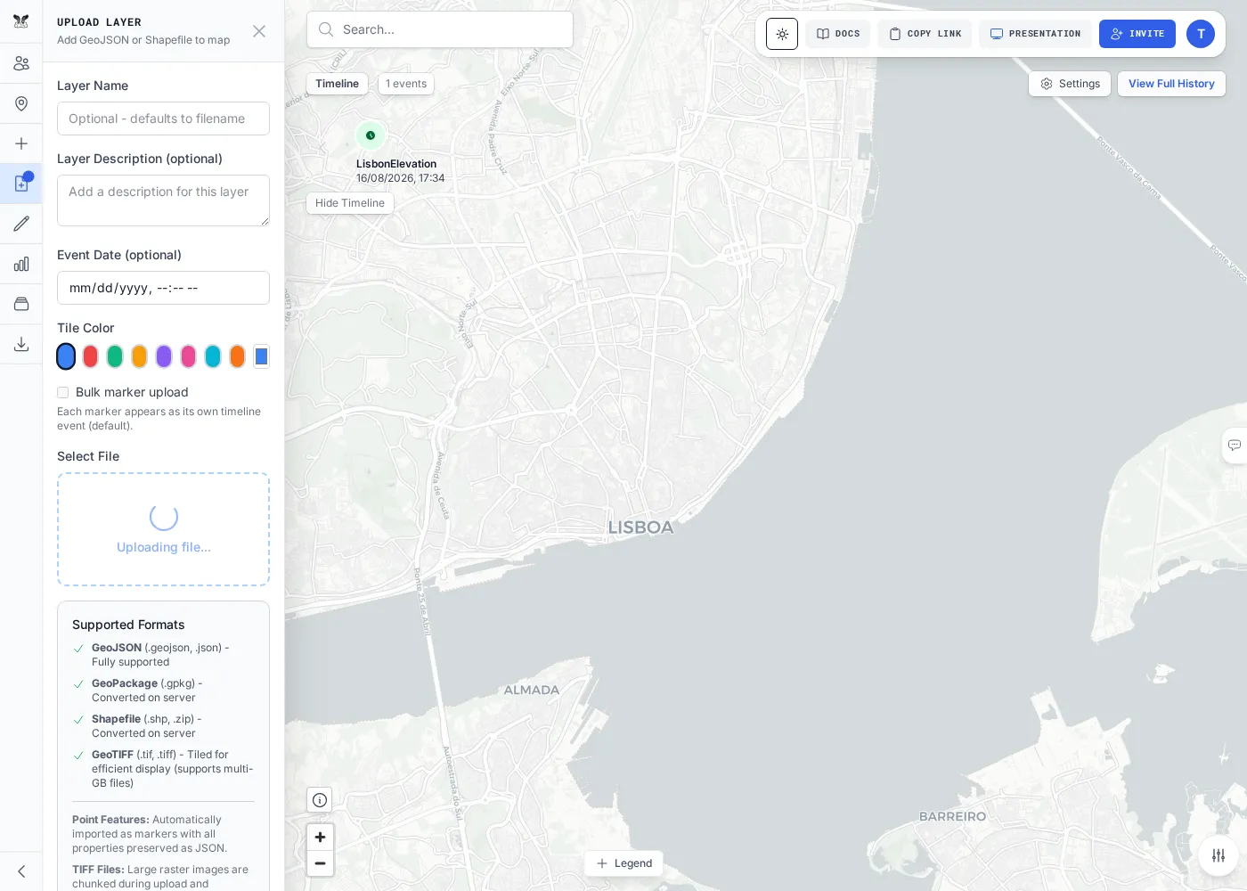
Name the layer and upload. Large shapefiles process in the background with a progress bar.
-
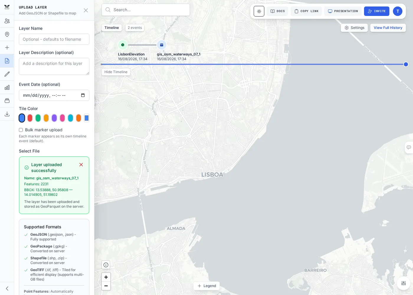
When it finishes you’ll see a success confirmation, and the features render on the map.
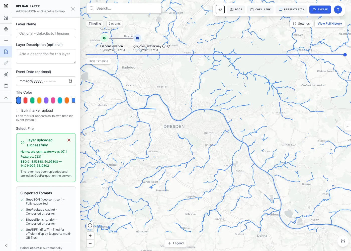
The test suite uses a real OpenStreetMap extract — gis_osm_waterways_07_1.zip (a ~355 KB archive of
about 2,200 waterway lines) — as its shapefile example; any well-formed zip works the same way.
Or upload via the API
Section titled “Or upload via the API”curl -X POST "$API/api/layers/upload" -H "Authorization: Bearer $TOKEN" \ -F "roomName=$ROOM" -F "layerName=waterways" -F "file=@gis_osm_waterways_07_1.zip"# → { "jobId": "job-…" } — poll GET /api/layers/jobs/<jobId> until completeNext steps
Section titled “Next steps”Upload a GeoPackageBring in a multi-layer .gpkg.