

Wildfire Operations Map
Ce contenu n’est pas encore disponible dans votre langue.
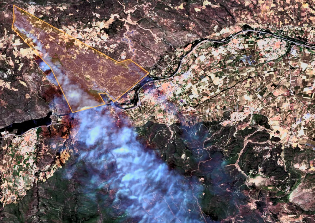
Wildfires can spread at unpredictable speed, so it is critical to follow their progress closely, bring all the necessary information into one place and act quickly.
Highlights
Section titled “Highlights”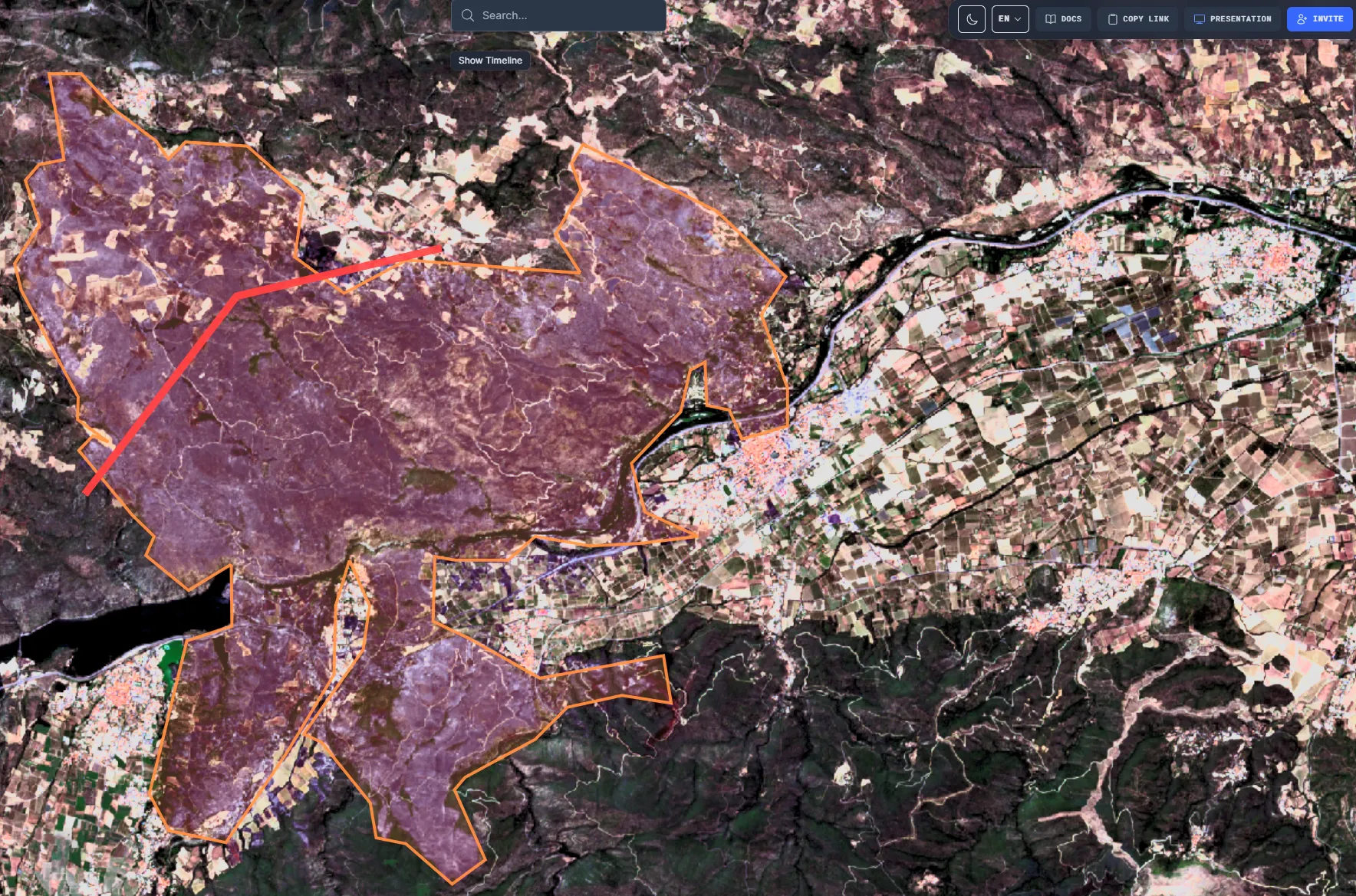
Satellite imagery
Bring satellite imagery such as Sentinel-2 straight onto the map as a GeoTIFF to assess conditions and the impact zone, which can be drawn by hand or detected automatically.
Location-based video
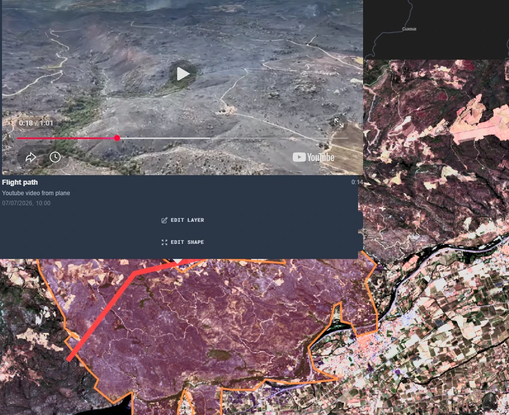
Linking a video to a path gives a direct view of the situation: click the path to see the footage at the right location.
Advanced analytics
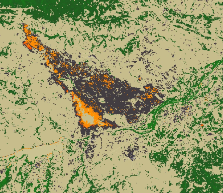
Combine data sources and run analyses to go a step further and make the data easier to digest.