

The Bayeux Tapestry Mapped
Ce contenu n’est pas encore disponible dans votre langue.
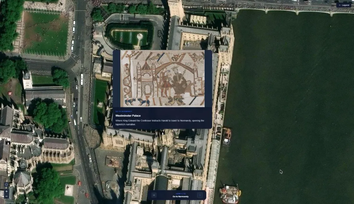
The Bayeux Tapestry tells the story of the Norman Conquest in 70 metres of embroidery, but where did it all happen? This map places each scene where it took place, from Edward the Confessor’s palace at Westminster to Mont-Saint-Michel and the field at Hastings, so the story can be followed on the ground as well as on the cloth.
Highlights
Section titled “Highlights”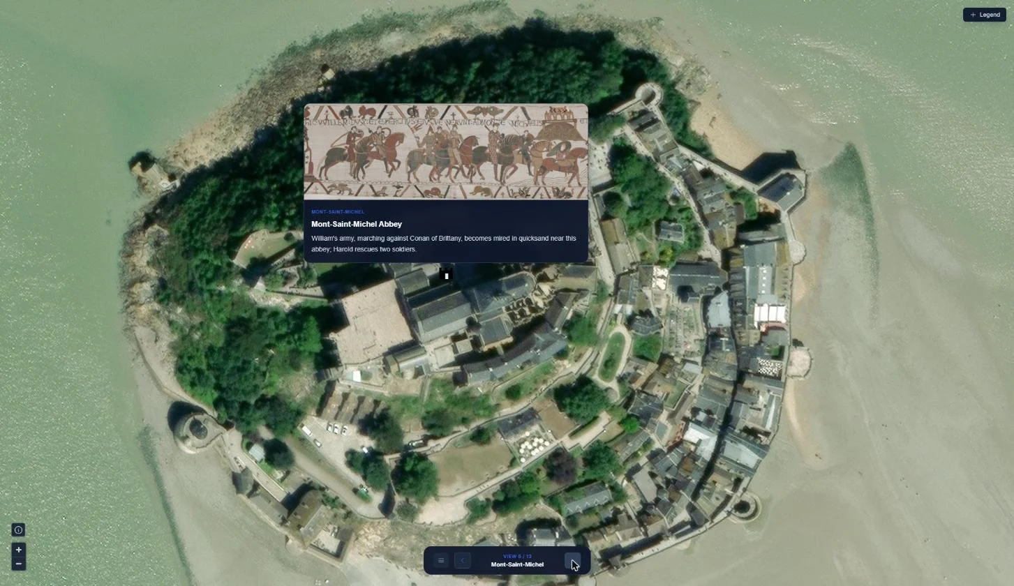
Guided presentation
The map becomes a 13-slide presentation. Each slide flies to its location and opens an info card with the matching tapestry scene, so a teacher or guide can walk an audience through the story one step at a time.
History on a timeline
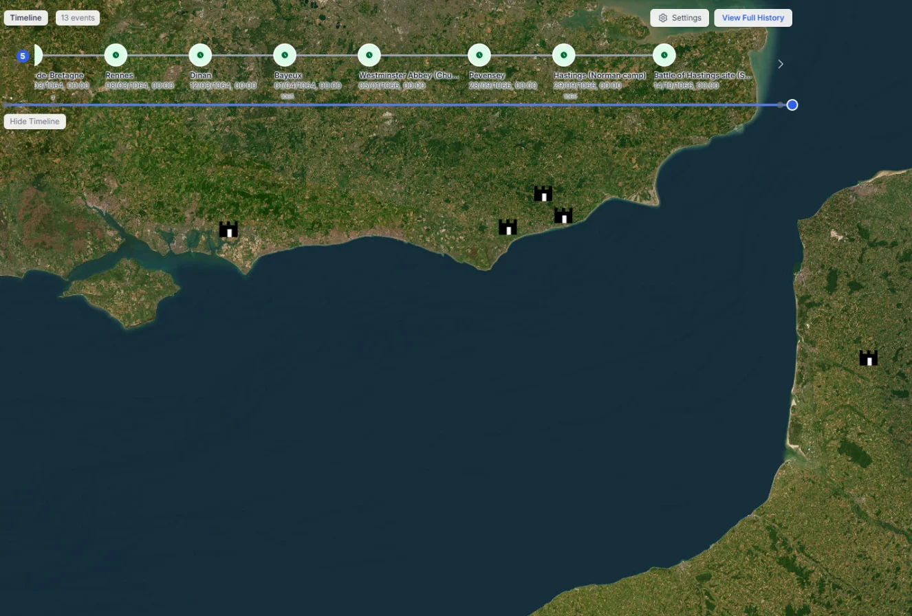
Every location carries the date of its event, from Harold’s crossing in early 1064 to Senlac Hill on 14 October 1066. Click any event on the timeline and the map flies straight to it.
Scenes on the map
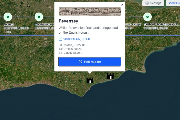
Each marker holds a strip of the tapestry, a short description and the date, so clicking a place shows the part of the tapestry it belongs to.