

Vitrine
Découvrez comment des équipes utilisent CollMap sur le terrain. Chaque exemple présente une carte réelle, le problème qu’elle résout et les fonctionnalités qui la rendent utile — avec un lien pour ouvrir la carte.
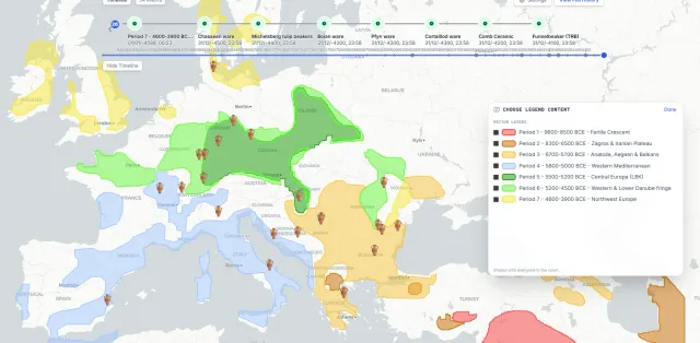 Archaeology
Western Farming Expansion
Visualise more than 5,000 years of prehistory, from the first farms to Neolithic Europe.
View showcase →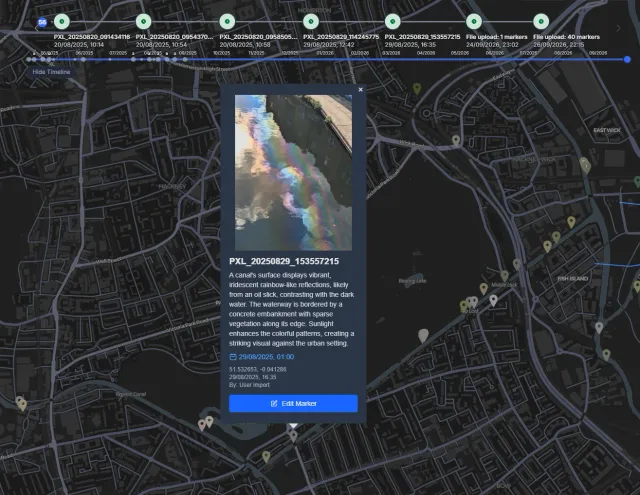 Ecology
Biodiversity Monitoring
Turning mobile phones into ecological monitoring devices.
View showcase →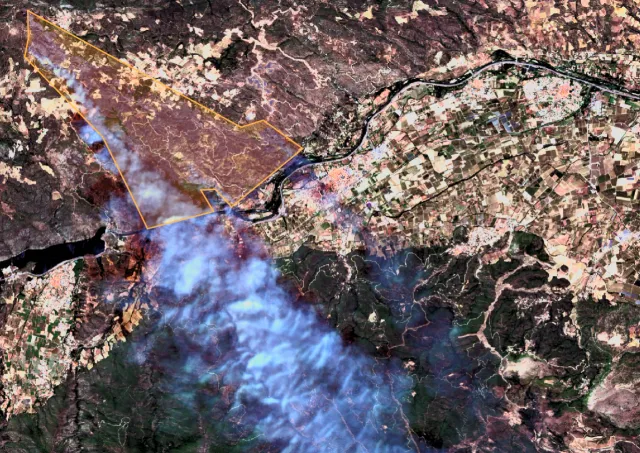 Firefighting
Wildfire Operations Map
Bring all the information together to monitor wildfire operations.
View showcase →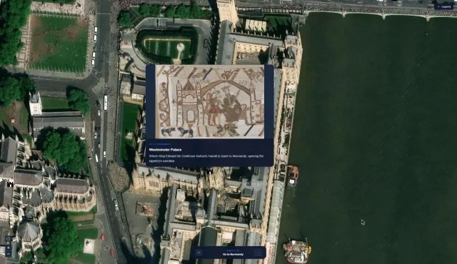 Cultural heritage
The Bayeux Tapestry Mapped
Follow the story behind the Bayeux Tapestry, scene by scene, across England and Normandy.
View showcase →